Issued May 10 at 5:19PM CDT until May 10 at 5:45PM CDT by NWS San Angelo TX
A tornado shelter is the safest option after the National Weather Service issued a Tornado Warning for Runnels County, Texas, on May 10 from 5:19 p.m. CDT to 5:45 p.m. CDT. At 5:18 p.m., radar showed a severe thunderstorm capable of producing a tornado over Hatchel, moving southeast at 25 mph.
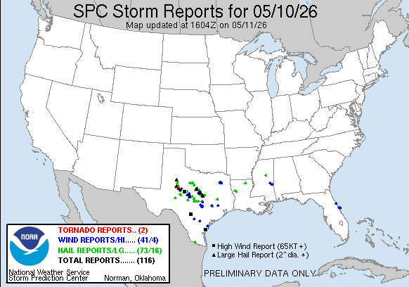
Source: NOAA Storm Prediction Center
The warning covered a storm with two major threats, tornadoes and softball-size hail. That combination raises the risk for exposed facilities across Runnels County, including Hatchel and nearby Benoit. Flying debris can injure workers and damage equipment fast. Roofs, windows, and vehicles are also at risk. In a storm like this, a tornado shelter is not a secondary precaution. It is the primary life-safety control.
The NWS said the storm was radar indicated rotation. That means forecasters saw a circulation signature strong enough to justify immediate warning action. For facility managers in rural West Central Texas, that matters. Warning lead time can be short. Buildings with large roofs, open yards, and light construction are especially vulnerable. Mobile homes face a much higher risk of damage or destruction.
May is a busy month for severe weather across Texas. Warm, moist air from the south often meets stronger winds aloft. That setup can support rotating thunderstorms and brief tornadoes. The Storm Prediction Center often highlights this kind of environment when storms can turn quickly. For counties like Runnels, the concern is not only one tornado. It is the speed at which a storm can intensify and move into a populated area.
Hatchel sat in the storm path first, and Benoit was next in line around 5:25 p.m. CDT. That short window shows why local response plans matter. Schools, municipal buildings, warehouses, and industrial sites in and around Runnels County need clear shelter procedures. A commercial tornado shelter can provide a hardened refuge when standard rooms are not enough.
Texas emergency managers and private operators often rely on alerts from the National Weather Service to trigger sheltering. The warning language in this event was direct. It called out tornado potential, damaging hail, and debris hazards. Those are the exact conditions that can overwhelm outdoor crews, loading docks, and temporary structures.
For business continuity, the main issue is not just structural damage. It is interruption. A tornado warning can force immediate shutdowns, halt transportation, and delay deliveries. In industrial settings, even a short stoppage can affect production schedules and safety compliance. In schools and municipal facilities, the priority shifts to moving people away from glass, exterior walls, and roof spans.
Runnels County facilities should treat this event as a reminder to review shelter capacity and access. A tornado shelter should be close enough to reach fast, but strong enough to hold people through the warning window. For larger campuses, that usually means planning for multiple protected points. The same applies to warehouses and manufacturing plants with dispersed work areas.
Weather events like this are also a test of communication. Alerts must reach supervisors, bus drivers, maintenance crews, and shift leads at the same time. NOAA and NWS guidance supports that kind of layered response. It also helps to map shelter routes before storms arrive. That is where a commercial tornado shelter plan becomes part of operations, not just emergency management.
Facility managers in Hatchel, Benoit, and surrounding parts of Runnels County should review where people go when a warning is issued. The right shelter location depends on occupancy, building layout, and the time needed to move staff. A tornado shelter should be part of the site plan, not an afterthought. For organizations still evaluating options, our Storm Planner can help assess placement before the next severe weather outbreak.
Preparedness also means checking whether current refuge areas can handle hail, windborne debris, and crowding. In a warning like this one, the hazard is immediate. Softball-size hail can break glass and damage roofs before a tornado even forms. That makes interior corridors, hardened rooms, and purpose-built shelters far more practical than ad hoc gathering spots.
Businesses looking to reduce exposure can also review our service areas and compare them with local risk. The broader lesson from this warning is simple. In West Texas, severe weather can escalate fast. A commercial tornado shelter gives schools, municipalities, and industrial sites a fixed place to move people when radar shows rotation nearby.
Industrial and manufacturing sites in Runnels County, and across Texas, should use this warning as a prompt to review shelter coverage, access time, and occupancy. If your plant, yard, or distribution site needs a stronger protection plan, you can view available shelter inventory, explore rental options, and use the Storm Planner to match shelter placement to your facility layout. You can also contact our team for a quote and review the photo gallery to see installed solutions in real settings.
For teams managing multiple sites, a commercial tornado shelter can support continuity planning as well as life safety. The warning over Hatchel and Benoit showed how quickly a rotating storm can move across a county. Facilities in Runnels County and nearby Texas communities should treat that as a practical benchmark for response time, shelter access, and recovery planning.